RunSphere: privacy-first running
An outdoor running app that gamifies movement through adaptive quests and H3 territory-claim seasons, entirely pace-neutral. Built as a pnpm/Turbo monorepo.
Philosophy
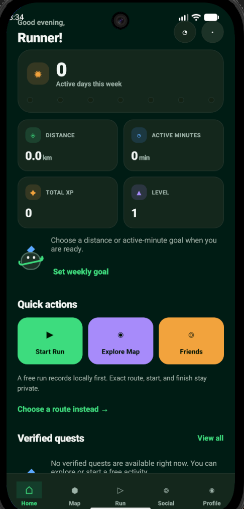
Pace-Neutral Gamification
RunSphere completely reimagines outdoor movement gamification by removing pace as a performance signal. The core philosophy: outdoor movement should feel exploratory, not competitive in a harmful way.
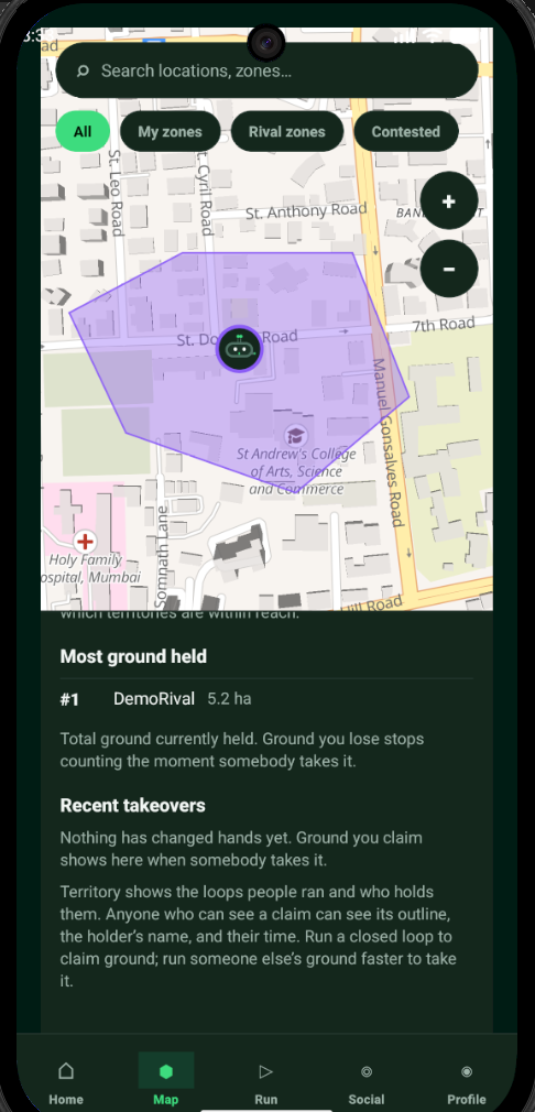
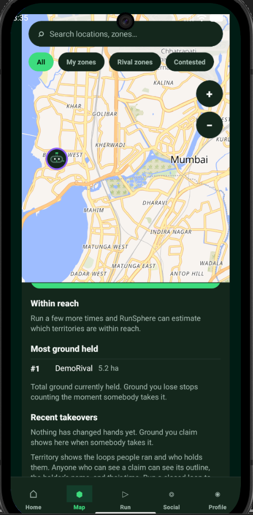
Instead of measuring who runs fastest, the app uses H3 hexagonal cell grids for territory-claim seasons, scoring runners based on their best contiguous 60 minutes per day. This ensures a level playing field, with newcomer divisions and winner concentration guardrails limiting top players' dominance.
Key Features
- Adaptive Quests: Server-generated loops (1-10km) adapting to load, time of day, and completion history.
- Territory Seasons (Turf): Optional 6-8 week seasons resetting weekly with immutable snapshots.
- No Pace Pressures: Route suggestions never adapt by demanding a faster pace.
Architecture
Turbo Monorepo Infrastructure
The project is orchestrated using Turbo 2 and pnpm across several packages. The mobile client leverages Expo (React Native) and MapLibre (OpenGL native variant on Android) for fluid, highly responsive map rendering.
The backend is powered by a blazing fast Fastify 5 API server running on Node 22, backed by PostgreSQL 18 + PostGIS managed locally via Docker Compose. Data contracts are strictly typed using TypeBox across the monorepo.
Under the Hood
- Activity Ingestion: Chunked idempotent uploads with offline queuing and GPS sampling.
- Encrypted Storage:
expo-sqlitewith SQLCipher for local database caching. - Custom ORM: Independent
@runsphere/dbpackage handling PostGIS interactions.
Security
Privacy-First Design
Targeting adults (18+) in the Mumbai Metropolitan Region, privacy is an architectural guarantee. The server actively enforces a 200 m privacy blur on all saved routes.
Safety contacts use delayed and coarse location sharing with auto-expiry. Raw coordinates are never exposed in analytics or logs—only derived counters are kept. Nominatim geocoding is strictly proxied server-side to prevent exposing client IPs.
Privacy Measures
- 200m Privacy Blurs: Server-side route trimming masks exact start/end locations.
- Coordinate Scrubbing: Crash reports and analytics contain absolutely no raw location data.
- GPS Quality Gates: Validates accuracy (≤50 m) and rejects spoofing (≤25 km/h limit).
Tech Stack